
Day 8, Sunday April 30th
An absolute fever dream
We departed Swakopmund at 8, lucky ducklings. Breakfast didn’t start until 7 at the hostel, and the crew had the last 2 nights kind of off, and they make the rules. We were headed inland, eventually escaped the fog bank and were greeted with inevitable heat, yet again.
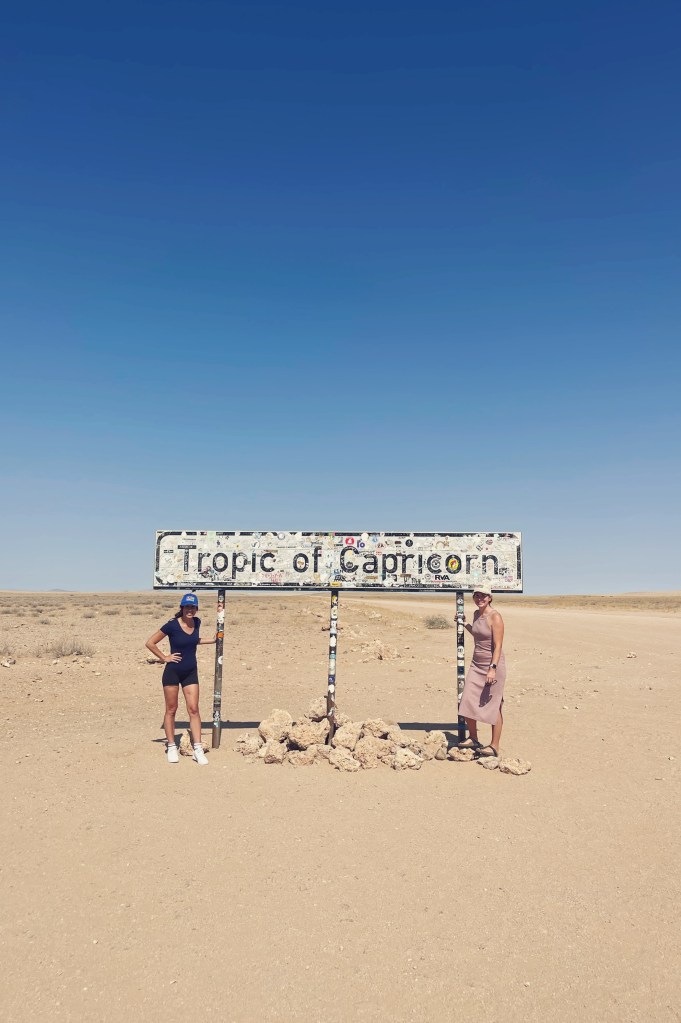
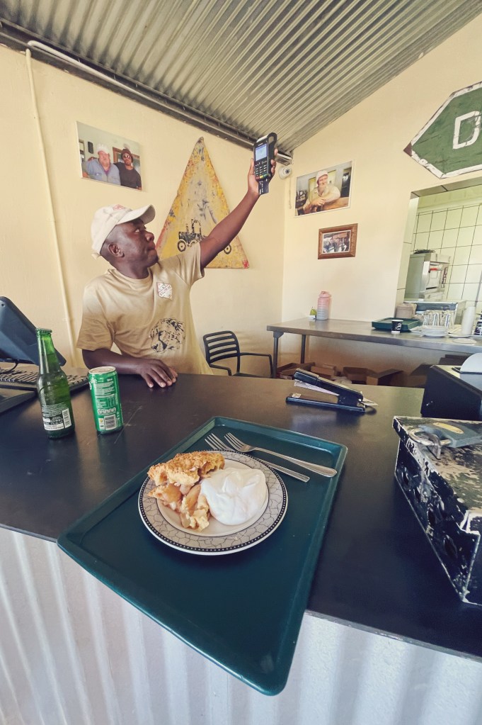
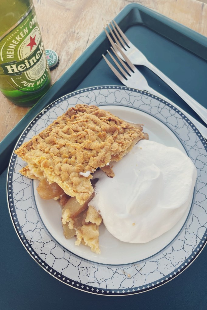
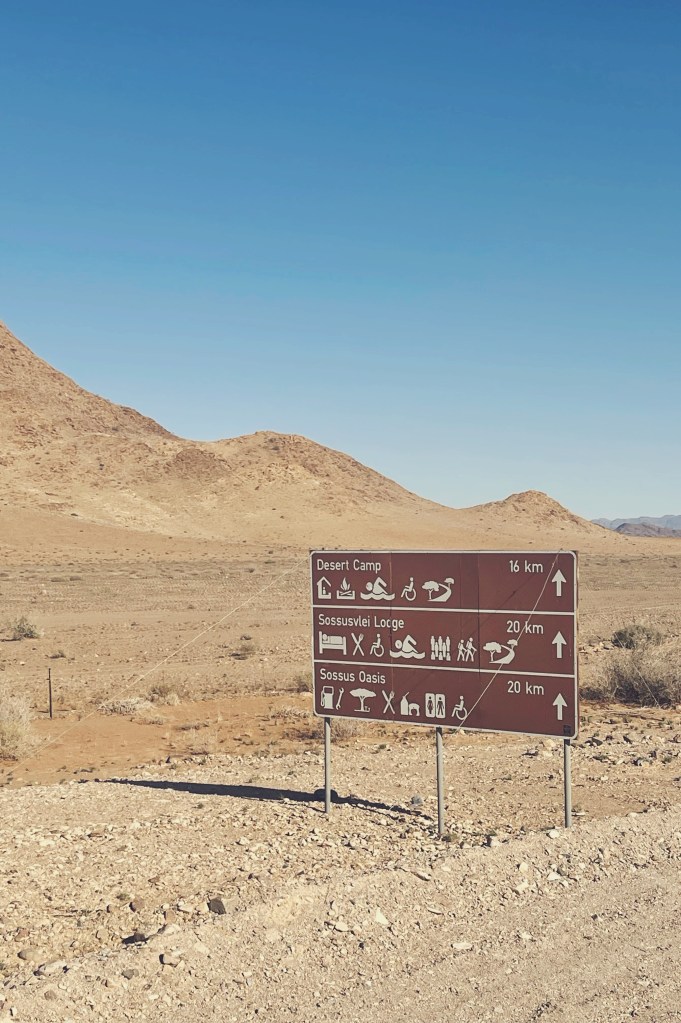
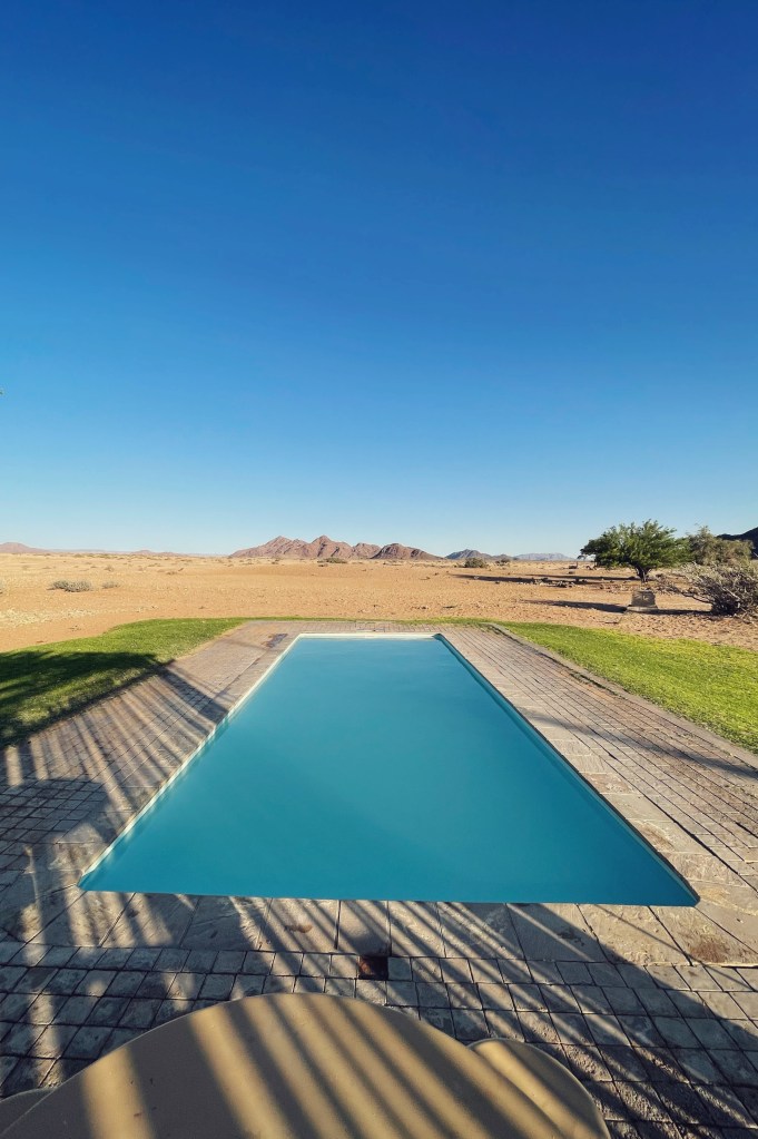
We made a quick stop off at the Tropic of Capricorn for pictures. A tiny town, Solitaire, in the literal middle of nowhere, for warm apple pie with fresh whipped cream and checked in at Sossus Oasis Camp in Sossusvlei. The name “Sossusvlei” is a mixed origin name and roughly translates to “dead-end marsh”. Vlei is the Afrikaans term for “marsh”, while “sossus” is the bushmen word for “no return” or “dead end”. The terrain on the way was rough dirt roads, harsh canyon lands and arid dessert. We were melting. All of us immediately slapped up the tents and had a swim, we checked in with the fam over slow wifi and went to bed.
Day 9, Monday May 1st
Holy heckin moly.
It’s a hot one on the dunes!
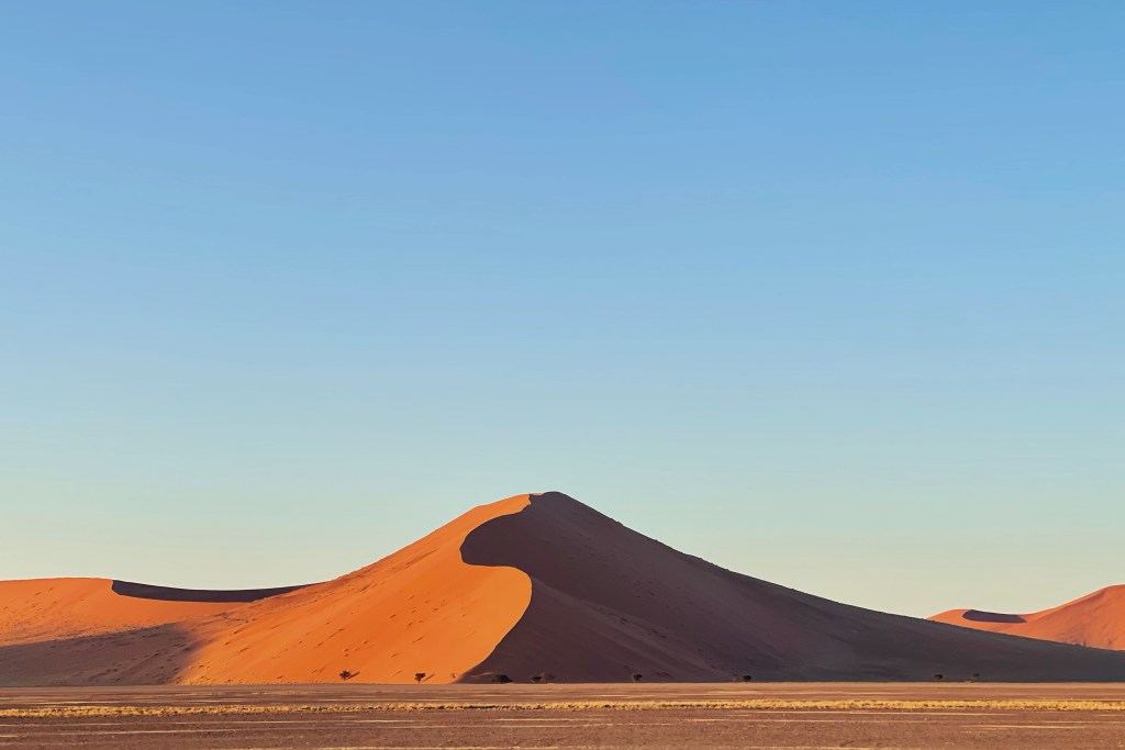
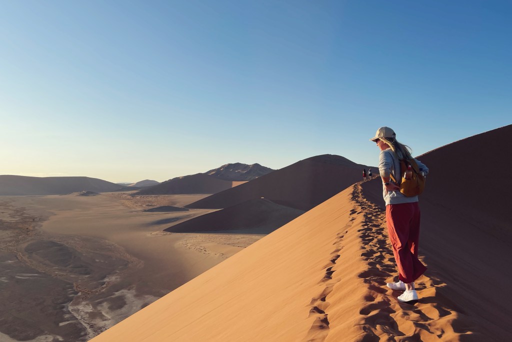
We’re back at camp, and immediately in the pool. We left early to be at the gates of the Namib Naukluft Nation Park before sunrise. Up at 530, breakfast at 6, depart at 630. We were probably sixth in line, with at least two dozen yutes lined up behind. Our first stop was dune 45, sister informs me it is name comes from being 45km from the front gates. It looms over, towering at over 80 meters high and it is composed of 5-million-year-old sands. We didn’t go all the way up, probably over half, but I was pretty winded and the sheer height was making me a little woozy/nervous. It was enough to enjoy the beautiful sunrise over the surrounding dunes, and put the vastness of the area in perspective.
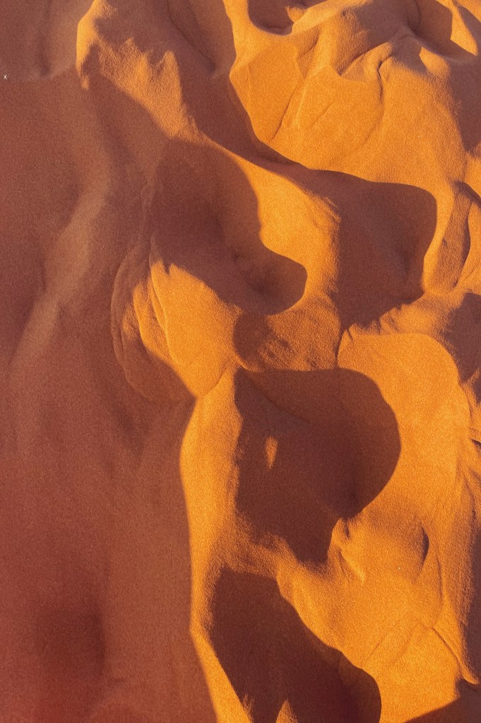
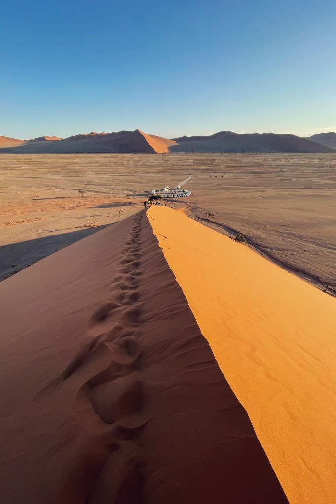
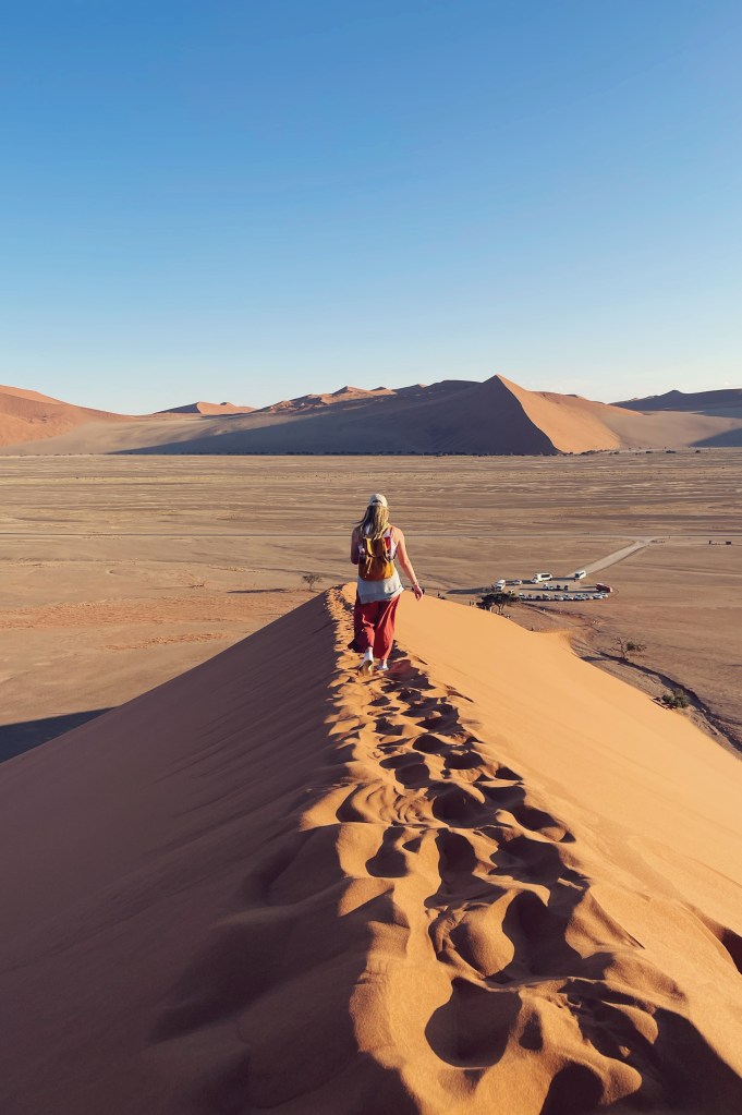
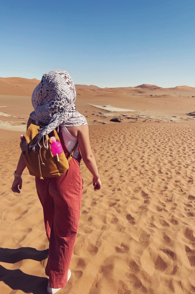
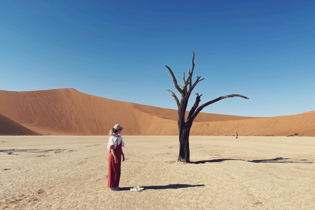
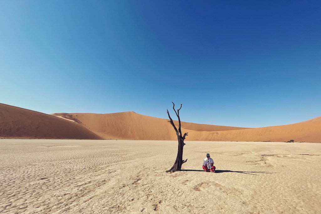
The place was getting packed, like Everest, a solid lineup going both directions. We regrouped and headed deeper into the Namib Desert to gain access to Deadvlei. Deadvlei is a white clay pan, with highly recognizable dead standing trees. The name translates to “dead marsh”, dead, being pretty self explanatory, and the Afrikaans term vlei for marsh. The clay pan formed after yearly rainfall from the nearby Tsauchab River would flood the area creating shallow pools where the abundance of water could sustain hardy flora, namely, the iconic camel thorn trees. Eventually drought hit the area, and sand dunes encroached on the pan, which blocked the river from reaching the area ever again. Slowly, the trees died, as there no longer was enough water to survive the harsh conditions. Although they’re not petrified, the wood does not continue to decompose due to how dry it is. The remaining skeletons of the trees, which are believed to have died more than 600 years ago are black because the intense sun has scorched them. Remaining frozen in time, in a bizarre setting surrounded by the highest sand dunes in the world, “Big Daddy” being the highest, reaching 300–400 meters (350m on average) resting on a sandstone terrace.
We were treated to another braii dinner, marinated steaks grilled over an open fire, potato and veg. It was delicious and we tucked in to our tents early, exhausted and happy.
A while after midnight I was awake due to some animal vocalizations/ overlapping squealing, happening not far from camp. I initially told sister it was jackals, as one had been through camp the night prior, but the next morning the South Africans confirmed that it was indeed hyenas, likely spotted hyenas. Although there are 3 kinds of hyenas, only spotted hyenas have a call that sounds like they are laughing, which they make when they are excited or nervous. Spotted hyenas make other sounds, too: squealing and groaning to greet each other and “whoop” to call over long distances. They quieted down after we made a bit of noise.
Thankfully.
Day 10, Tuesday May 2
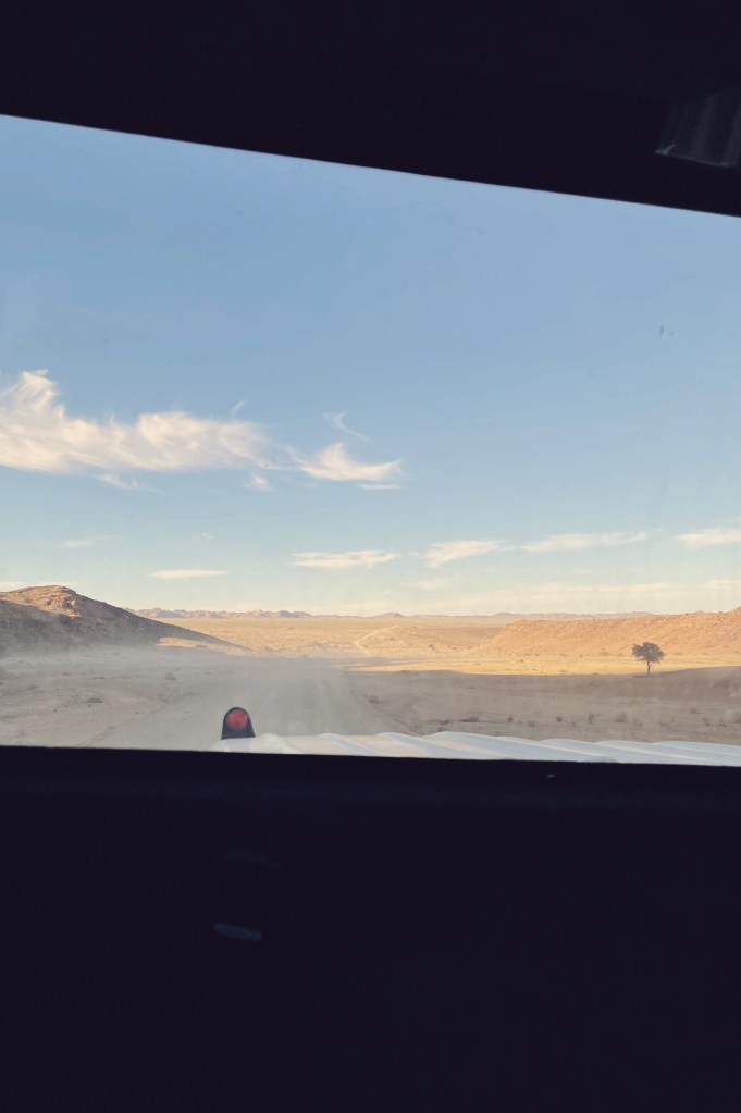
Up and on the road by 7 today. Today we had some serious ground to cover, over 550km, with the plan of arriving at our destination before dark.
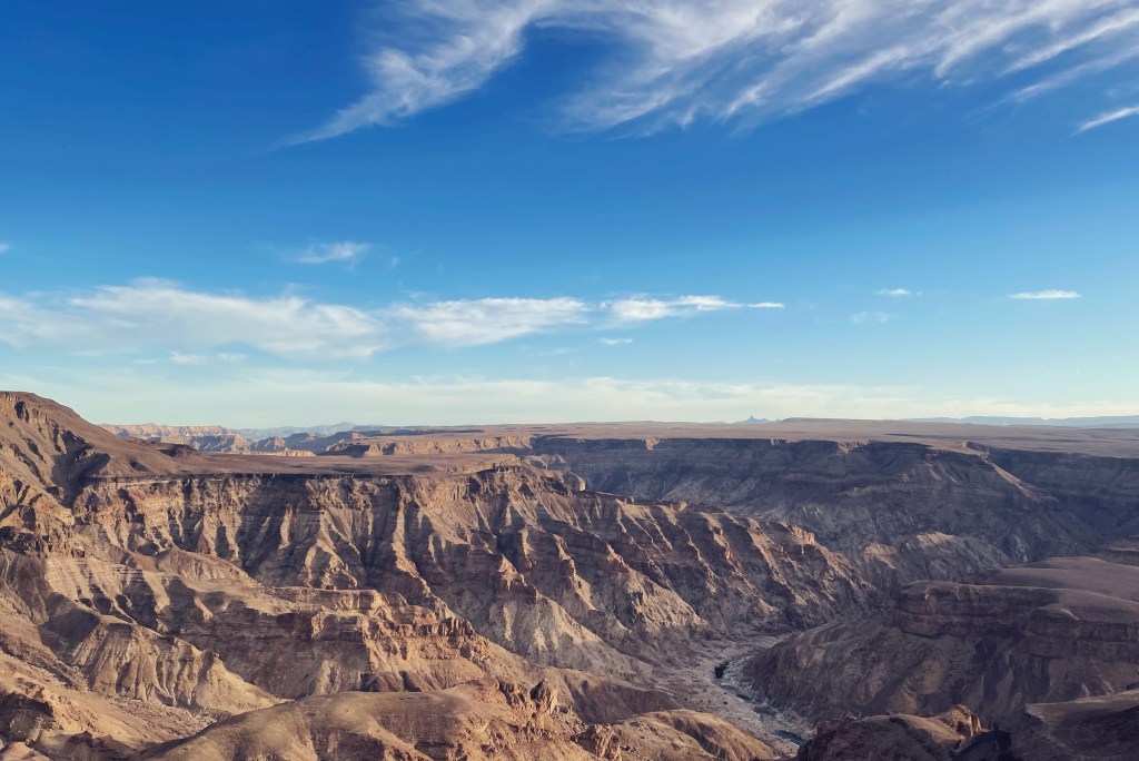
Not terribly exciting, mostly pedal to the metal kind of day. We had quick stops for provisions, billtong & apple pie, cold drinks. We did indeed make it to Fish River before our ETA, had time to set up tents and hop back in the bus. The fish river canyon is the largest canyon in Africa, as well as the second most visited tourist attraction in Namibia – after Deadlvei. It features a gigantic ravine, in total it is about 160 kilometres long, up to 27 km wide and in places almost 550 meters deep. Grand Canyon vibes, obviously. We hiked along the eastern rim and took in the sunset at a viewing platform.
Day 11, Wednesday May 3
This morning we continued south, where, after a short drive we arrived at the Orange River, which is the natural land border between Namibia and South Africa. It’s more brown than orange, and wasn’t named for the colour anyways, named for the Dutch ruling family. The border crossing went smoothly. Hardly anyone else was there, and the whole process was very well organized. We camped at a beautiful campsite on the South African bank of the river, only 15kms after security – although the road was horrendous, so it took over half an hour to get there. We spent the rest of the afternoon relaxing and chatting with fellow tour mates, mostly travel parents. There was an optional activity to go “canoeing”, but it was more like inflatable kayaks, and I’ve got some ptsd/river rafting trauma I’d prefer to avoid awakening. Had an early enough night and had a big drive day coming up.
Make a one-time donation, buy me a coffee or some film for the instax! Endless love!
Make a monthly donation
Make a yearly donation
Choose an amount
Or enter a custom amount
Your contribution is greatly appreciated!
Your contribution is appreciated.
Your contribution is appreciated.
DonateDonate monthlyDonate yearly